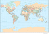
55 x 35 Inch Poster Size World Map - Mercator Projection with Countries US States Canadian Provinces plus Ocean Floor Contours
About This Map
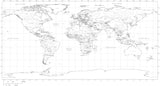
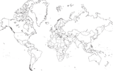
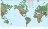
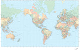
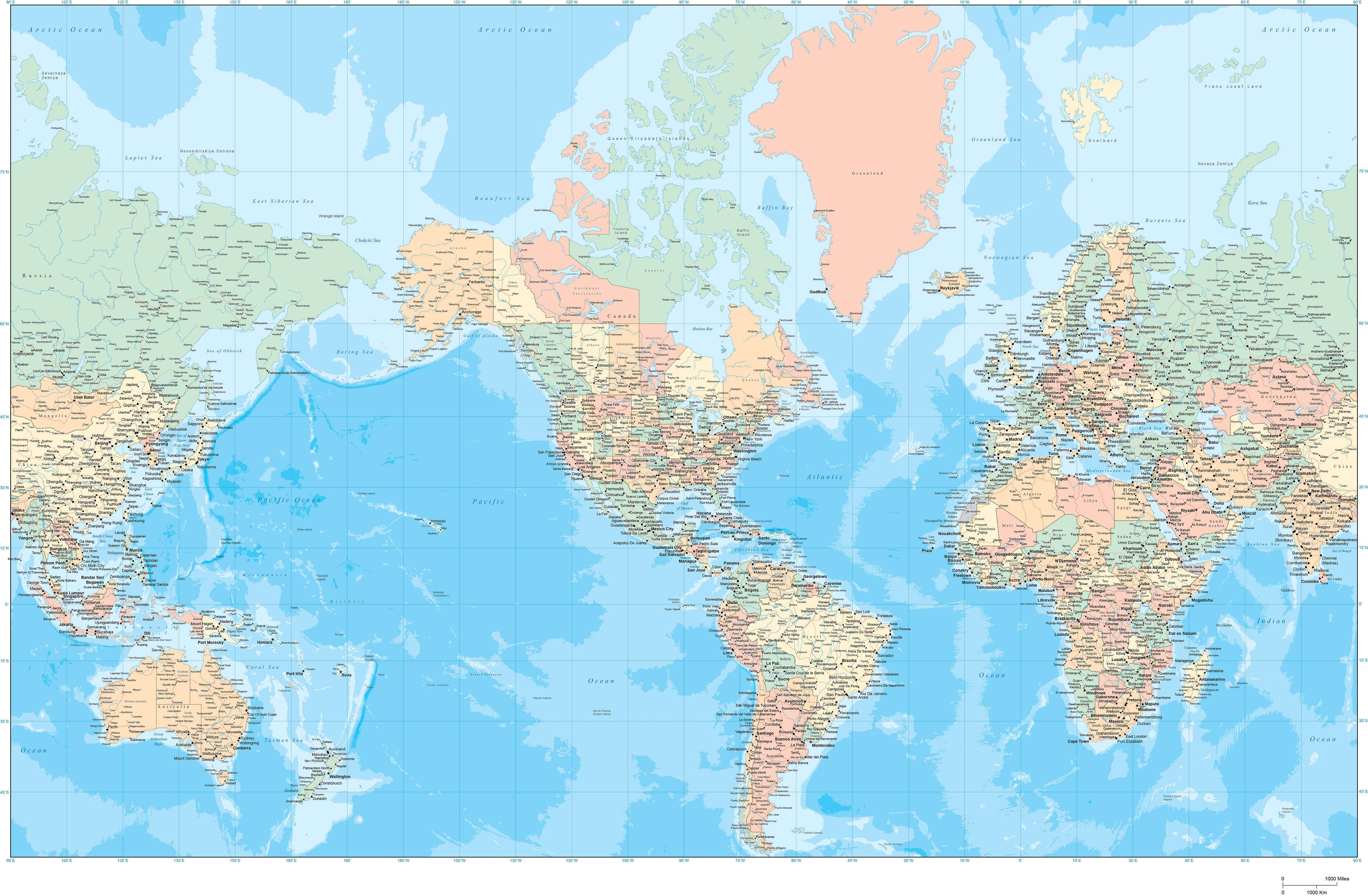
This large, detailed world map shows country borders, country names, US states, Canadian province, major rivers, lakes, major highways, cities, and ocean floor contours.
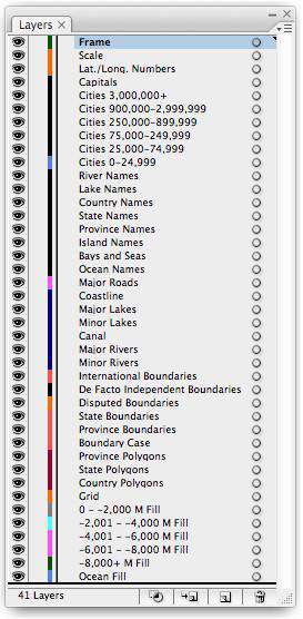
Since it is drawn in vector Adobe Illustrator format, each country and state area is a separate object you can select and change the color. All lines are fully editable, and all text is fully editable font text (not outlines).
Perfect for large size posters or presentations or enlarged for trade show booth or wall sized maps.
Need something smaller, or with less detail? See all our world maps with contours.
How Will I Download My Digital Map File?
Your receipt page will have a link to download your file, and you will receive an email with the same link. The link will be active for 30 days.
30 Day Money-Back Guarantee!
Download a Sample Map
See for yourself why our maps are the best! Download a fully editable sample map in Adobe Illustrator or PowerPoint Format.
Can't Find the Map You Need?
We can make one for you. Here's how to get a custom map...
Similar Maps