
Professional Quality Adobe Illustrator Vector Maps
High-Quality Digital Maps for Print, Web, and Broadcast. Since 1986
Editable Adobe Illustrator Maps & PowerPoint Maps
Royalty-Free • Download 24/7!
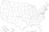
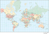
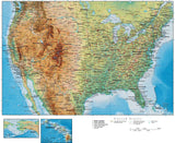
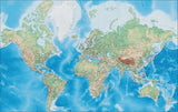
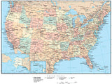
Map Resources provides over 4,000 digital maps of the World, Continents, USA, States and Cities. All maps are layered and fully editable Adobe Illustrator graphic files. You can use our maps as-is, or modify the appearance of the map to your graphic design needs. We stand behind our products with a 30 day Money-Back Guarantee, so your satisfaction is guaranteed!
Who uses our maps? Graphic design professionals from one-person shops to corporate in-house design departments - for advertising, publishing, education, government, military, and non-profit users. See our List of Users.
Shop For
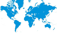
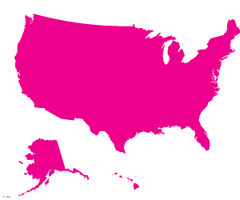
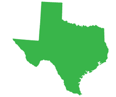
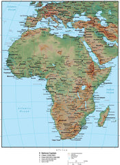

Most Popular Maps
Need the Entire World? All 50 States? Save by getting one of our Digital Map Collections!
Our digital maps come in popular file formats so you can choose the best option:
- Adobe Illustrator with layers. All colors, lines, and text are fully editable
- PowerPoint optimized for clear presentations and handouts
All purchases are covered by our unconditional, 30-day, Money Back Guarantee.
MapResources digital vector maps are available for immediate purchase and download using our secure e-commerce system.
Map Resources has the world's largest collection of digital high resolution vector maps made specifically for use in graphic design.
All our maps are royalty-free maps ready to use in printed and digital documents, publications, web sites and other projects.
And, all our Adobe Illustrator® format maps are fully editable maps so you can easily alter all colors, lines, and text to your design specifications!
Questions? Please email "info@MapResources.com" or call us at 609-397-1611