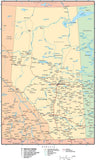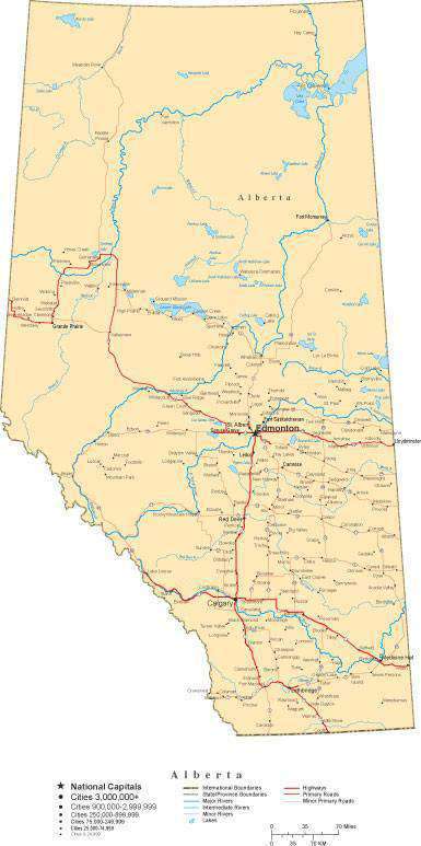
Alberta Province Map - Cut-Out Style
About This Alberta Map
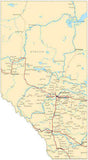
Shows Alberta Canada with features including major highways rivers lakes and major city locations.
In Illustrator format each area and road is fully editable and all text is font text (not outlines). Layers make it easy to customize the features on the map using Adobe Illustrator.
Perfect for large color illustrations in print or web design.
This map is also included in our Premier International Canada collection, including maps of Canada and all Provinces & Territories.
If you need a map like this one showing a different area, please contact our Custom Mapping Services.How Will I Download My Digital Map File?
Your receipt page will have a link to download your file, and you will receive an email with the same link. The link will be active for 30 days.
30 Day Money-Back Guarantee!
Download a Sample Map
See for yourself why our maps are the best! Download a fully editable sample map in Adobe Illustrator or PowerPoint Format.
Can't Find the Map You Need?
We can make one for you. Here's how to get a custom map...
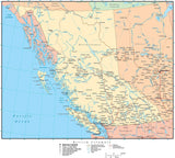
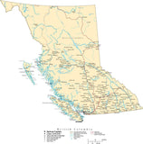
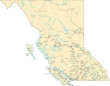
Similar Maps