Move your mouse over image or click to enlarge
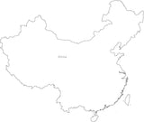
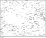
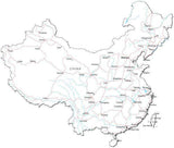
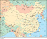
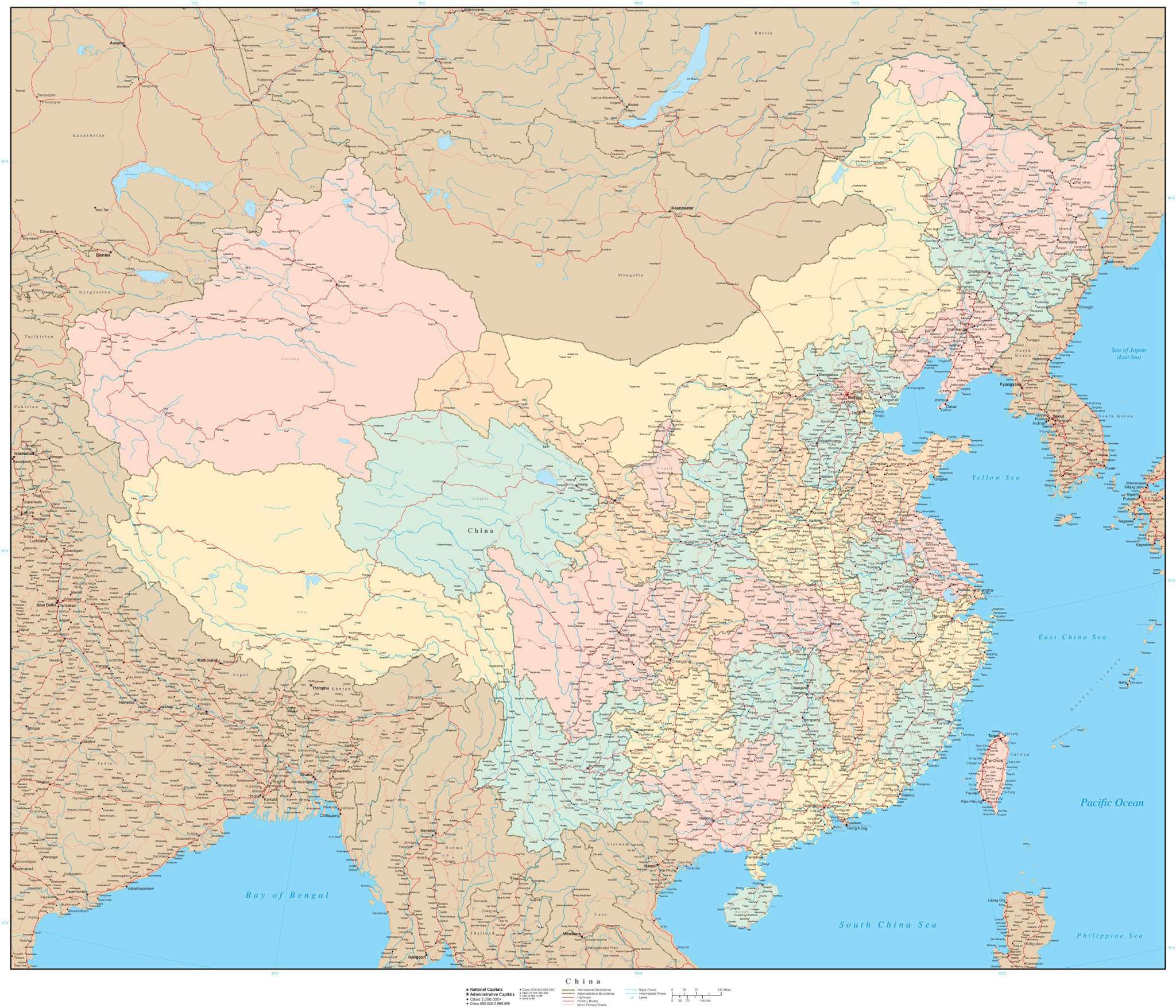
Poster Size 36 x 30 inch China Map with Provinces
About This Map
Shows the entire country with portions of adjacent countries. Detail includes country borders provinces major roads rivers lakes and city locations.In Illustrator format each area and road is fully editable and all text is font text (not outlines). Layers make it easy to customize the features on the map using Adobe Illustrator.
Perfect for large size posters or presentations or trade show graphics.
How Will I Download My Digital Map File?
Your receipt page will have a link to download your file, and you will receive an email with the same link. The link will be active for 30 days.
30 Day Money-Back Guarantee!
Download a Sample Map
See for yourself why our maps are the best! Download a fully editable sample map in Adobe Illustrator or PowerPoint Format.
Can't Find the Map You Need?
We can make one for you. Here's how to get a custom map...
Similar Maps