Move your mouse over image or click to enlarge
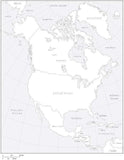
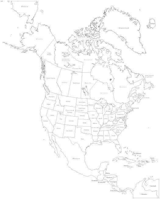
Digital North America Map with US States & Canadian Provinces - Black & White
About This Map
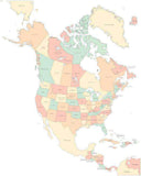
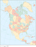
Shows US state areas and names, and Canadian province areas and names.In Illustrator & PowerPoint formats each area is a separate object you can select and change the color, and all text is fully editable font text (not outlines).
Perfect for page size illustrations.
How Will I Download My Digital Map File?
Your receipt page will have a link to download your file, and you will receive an email with the same link. The link will be active for 30 days.
30 Day Money-Back Guarantee!
Download a Sample Map
See for yourself why our maps are the best! Download a fully editable sample map in Adobe Illustrator or PowerPoint Format.
Can't Find the Map You Need?
We can make one for you. Here's how to get a custom map...
Similar Maps