Move your mouse over image or click to enlarge
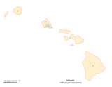
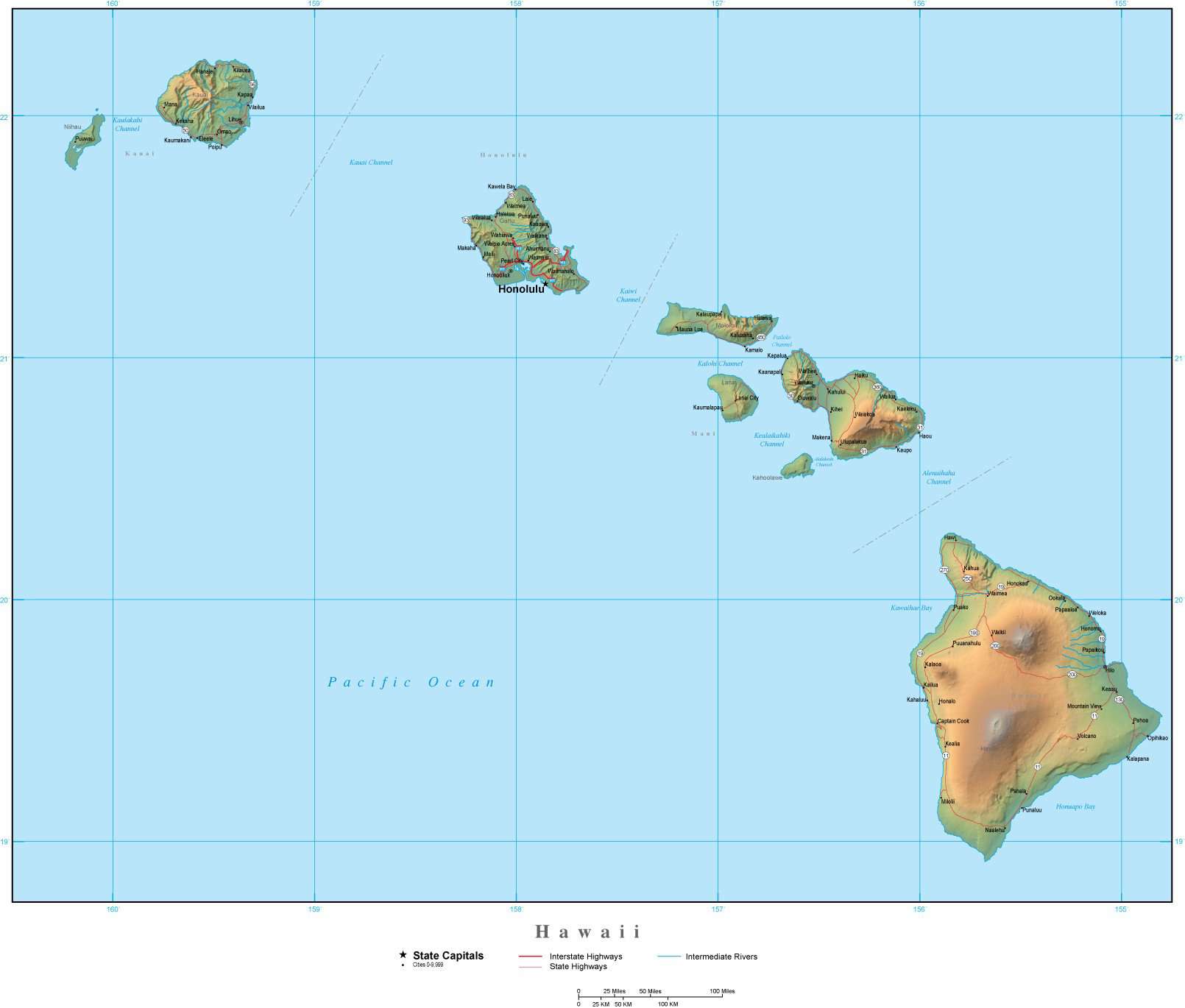
Hawaii Map Plus Terrain with Cities Roads and Water Features
About This Map
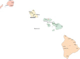
Shows the entire state, with portions of adjacent states. Detail includes all county borders, major roads, rivers, lakes, and city locations.In Illustrator format, the background terrain is a 300 dpi CMYK Photoshop file, so you can alter the background colors easily to your design specifications.
Great for page size illustrations showing an entire state and adjacent areas, with topography showing mountains, valleys, and other physical features.
This map is also included in our Premier USA plus Terrain collection, which includes similar maps of the USA and all 50 states.
How Will I Download My Digital Map File?
Your receipt page will have a link to download your file, and you will receive an email with the same link. The link will be active for 30 days.
30 Day Money-Back Guarantee!
Download a Sample Map
See for yourself why our maps are the best! Download a fully editable sample map in Adobe Illustrator or PowerPoint Format.
Can't Find the Map You Need?
We can make one for you. Here's how to get a custom map...
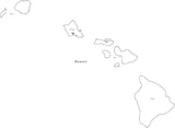
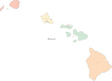
Similar Maps