Move your mouse over image or click to enlarge
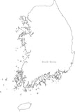
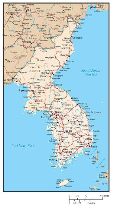
North and South Korea Map with Major Cities and Roads
About This Map
Shows North and South Korea with Major Cities and Roads country borders capital & city locations and major roads.Use this map as-is, or customize it using the tools in Adobe Illustrator.
Perfect for page size illustrations.
If you need a map like this one showing a different area, please contact our Custom Mapping Services.
How Will I Download My Digital Map File?
Your receipt page will have a link to download your file, and you will receive an email with the same link. The link will be active for 30 days.
30 Day Money-Back Guarantee!
Download a Sample Map
See for yourself why our maps are the best! Download a fully editable sample map in Adobe Illustrator or PowerPoint Format.
Can't Find the Map You Need?
We can make one for you. Here's how to get a custom map...
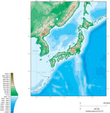
Similar Maps