Move your mouse over image or click to enlarge
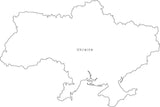
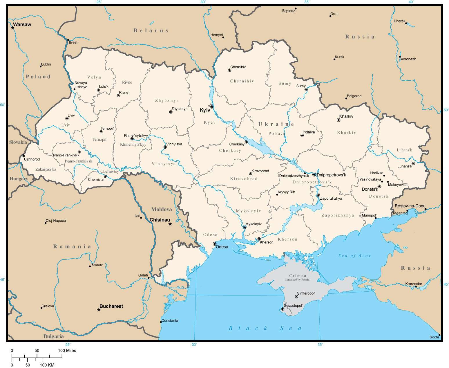
Ukraine Map with Province Areas and Capitals
About This Ukraine Map with Province Areas and Capitals
Ukraine with internal province borders, major cities, rivers, and lakes. Updated March 2014 to show Crimea as annexed by Russia.Use this map as-is or customize it using the tools in Adobe Illustrator. Each administrative area is a separate editable object/polygon you can select and modify e.g. change the color or add fill.
If you need a map like this one showing a different area please contact our Custom Mapping Services.
How Will I Download My Digital Map File?
Your receipt page will have a link to download your file, and you will receive an email with the same link. The link will be active for 30 days.
30 Day Money-Back Guarantee!
Download a Sample Map
See for yourself why our maps are the best! Download a fully editable sample map in Adobe Illustrator or PowerPoint Format.
Can't Find the Map You Need?
We can make one for you. Here's how to get a custom map...
Similar Maps