Large Size Adobe Illustrator Format USA Map with States and Terrain Background
About This Adobe Illustrator US Map with Photoshop Terrain Background Image
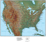
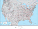
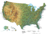
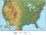
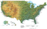
Includes high res (300 dpi Photoshop image) terrain relief in the land, with partly transparent color US state Adobe Illustrator vector objects, so the terrain shows through the state colors.
Other features include major cities, rivers, and highways. In the surrounding ocean areas are depth contours, giving interest to the otherwise flat water areas (these are in layers, and can be deleted or modified as needed).
Map drawn at 31 x 21 inches. The background terrain is a 300 dpi grayscale Photoshop file (9300 x 6300 pixels).
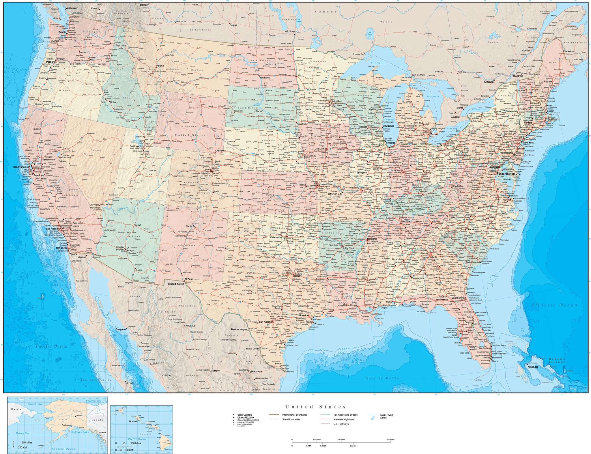
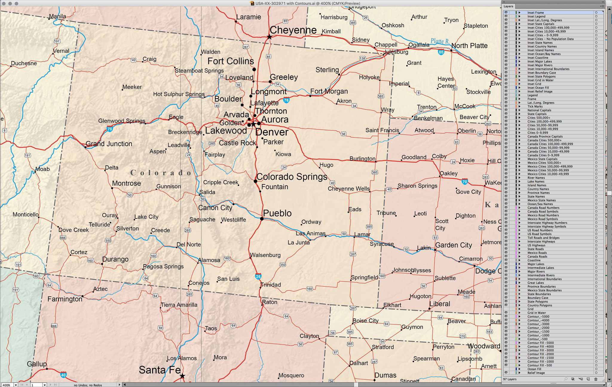
All color fills are fully editable using the tools in Adobe Illustrator, all line features are fully editable, and all text is font text (not outlines).
This map is perfect as-is for large illustrations in print or web design.
Using the editing tools in Adobe Illustrator and Photoshop you can modify the appearance of this map in many ways to create just the map appearance you need for your design.
How Will I Download My Digital Map File?
Your receipt page will have a link to download your file, and you will receive an email with the same link. The link will be active for 30 days.
30 Day Money-Back Guarantee!
Download a Sample Map
See for yourself why our maps are the best! Download a fully editable sample map in Adobe Illustrator or PowerPoint Format.
Can't Find the Map You Need?
We can make one for you. Here's how to get a custom map...
Similar Maps