Move your mouse over image or click to enlarge
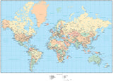
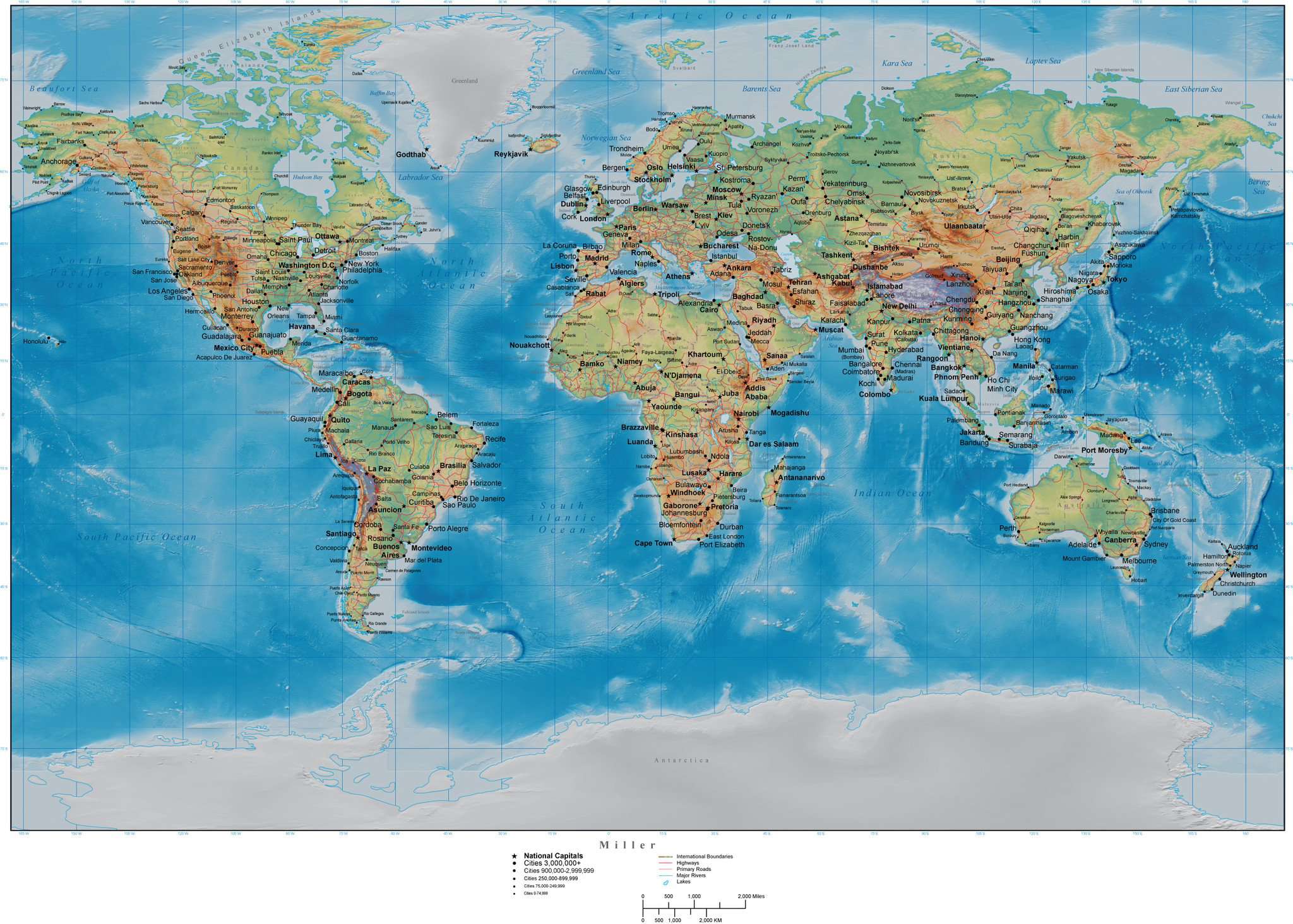
World Map with Land and Ocean Floor Terrain - Miller Projection
About This Map
Includes terrain relief image in both the land and water areas.In Illustrator format the background terrain is a 300 dpi CMYK Photoshop file so you can alter the background colors easily to your design specifications.
Also includes hidden" layers of area objects for Country Areas and State Province Areas.
For when you need a really spectacular color illustration showing the entire world."
How Will I Download My Digital Map File?
Your receipt page will have a link to download your file, and you will receive an email with the same link. The link will be active for 30 days.
30 Day Money-Back Guarantee!
Download a Sample Map
See for yourself why our maps are the best! Download a fully editable sample map in Adobe Illustrator or PowerPoint Format.
Can't Find the Map You Need?
We can make one for you. Here's how to get a custom map...
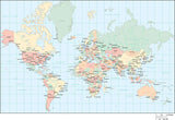
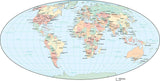
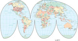
Similar Maps