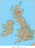
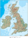
United Kingdom Country Vector Maps
Royalty-Free Vector Maps of the United Kingdom • Illustrator & PDF • Download 24/7
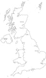
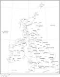
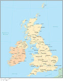
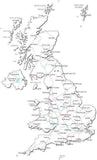
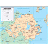
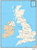
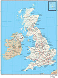
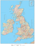
United Kingdom Vector Maps - including traditional, terrain and contour options.Fully editable feature layers, objects, and font based text. Customize digital vector maps with Adobe Illustrator. Resize PDF format for high resolution output.


Results 1–24