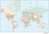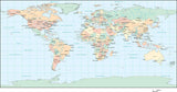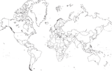
World Map in JPEG or Adobe Illustrator Vector Format - with Countries, US States, Canadian Provinces, Capital and Major Cities, and Roads - Europe / Africa Centered
About This Digital World Map in JPEG or Adobe Illustrator Format
This digital world map is available for immediate download in JPEG or Adobe Illustrator format, making it great for print, multi-media, or web design. You can use the JPEG map 'as-is' for a great looking world map, or modify the appearance using the graphic design tools in Adobe Illustrator.
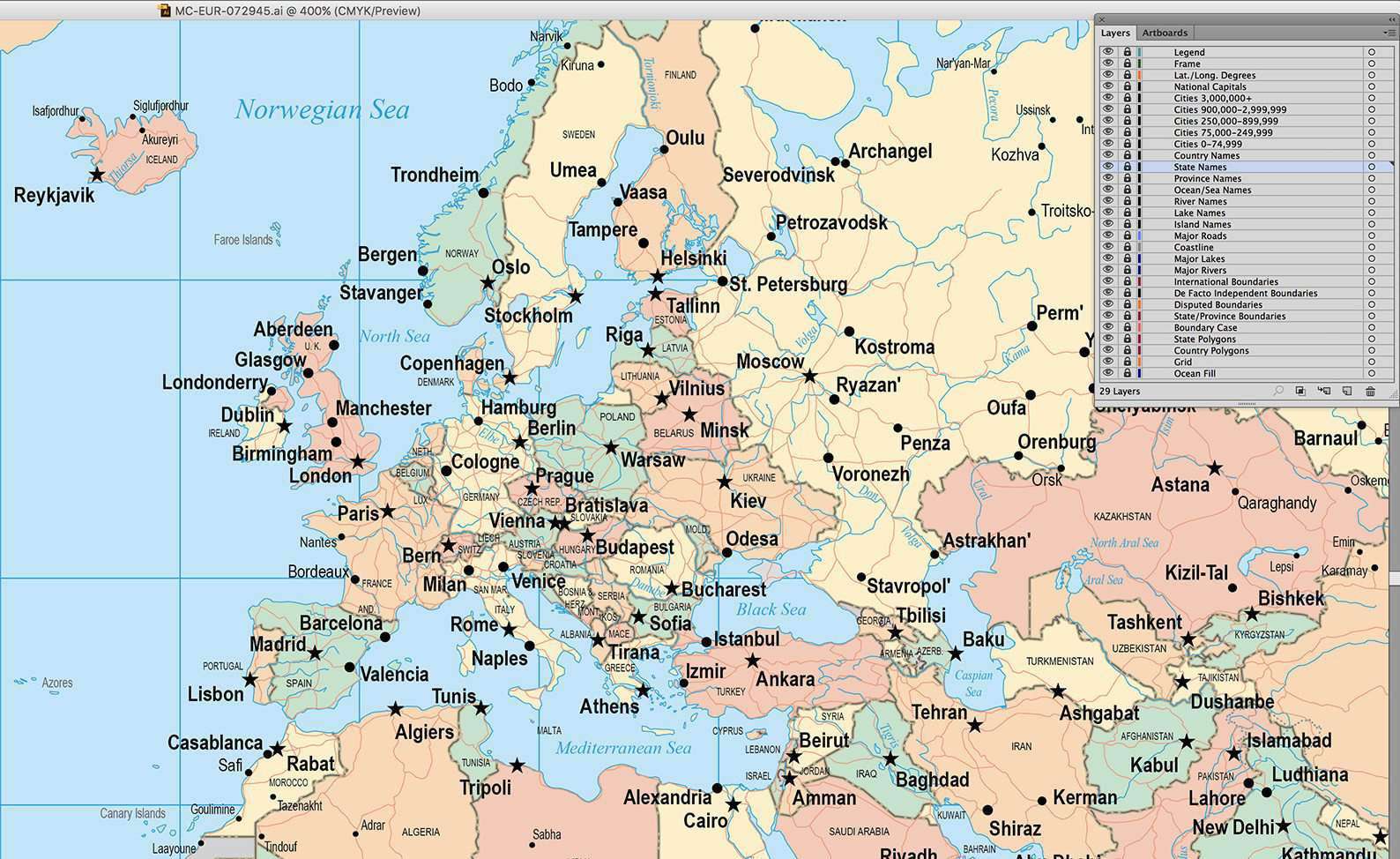
This digital world map shows country borders, country names, US states, Canadian provinces, capital and major cities, plus major roads, rivers & lakes.
Created at about 17 x 11 in (28 x 44 cm) this map is perfect for large color illustrations showing the entire world. The JPEG file is 300 dpi CMYK format (image size 5100 x 3300 pixels).
The Adobe Illustrator format is 100% vector artwork, so it can be printed at high resolution, and scaled to any size you need. All areas are drawn as individual vector area objects, all lines are fully editable, and all text is font text (NOT outlines). The map is drawn in layers, so you can easily select and change the appearance of similar features on the map using the tools in Adobe Illustrator. For example, all the rivers are in one layer, so you can easily select them all to change their line style if needed.
This map is in Mercator Projection. Updated to show the division of Sudan and South Sudan, and the annexation of Crimea by Russia.
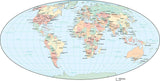
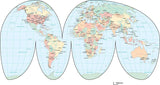
This map is also included in our Premier International collection, including maps of the World in several projections, each of the seven continents, and sub-continent areas.
You can also select JPEG format, and download a 300 dpi CMYK color file. Since it is in raster JPEG format, there are no layers or objects. Compatible with Adobe Photoshop and all JPEG compatible software.
If you need a map like this one showing a smaller area, or in a different projection, please contact our Custom Mapping Services.
How Will I Download My Digital Map File?
Your receipt page will have a link to download your file, and you will receive an email with the same link. The link will be active for 30 days.
30 Day Money-Back Guarantee!
Download a Sample Map
See for yourself why our maps are the best! Download a fully editable sample map in Adobe Illustrator or PowerPoint Format.
Can't Find the Map You Need?
We can make one for you. Here's how to get a custom map...
Similar Maps