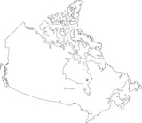
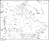
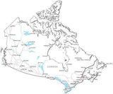
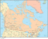
Canada Maps
Royalty-Free Vector Maps • Illustrator & PDF • Download 24/7
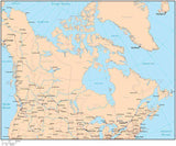
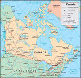
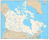
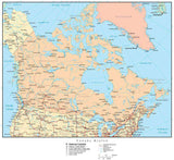
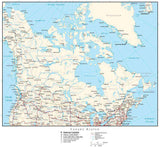
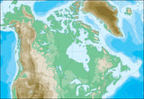
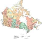
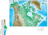
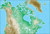
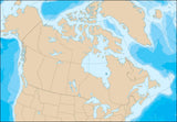
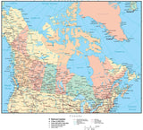
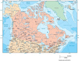
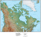
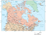
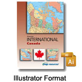
Canada Vector Maps - including traditional, terrain and contour options. Maps of the country, provinces, cities.Fully editable feature layers, objects, and font based text. Customize digital vector maps with Adobe Illustrator. Resize PDF format for high resolution output.
|
Canadian Provinces AlbertaBritish Columbia Manitoba New Brunswick Newfoundland & Labrador Northwest Territories Nova Scotia Nunavut Ontario Prince Edward Island Quebec Saskatchewan Yukon Territory |
Canadian Cities CalgaryCharlottetown Edmonton Fredericton Halifax Montreal Niagara Falls Ottawa Quebec Toronto Vancouver Winnipeg Whistler |
A comprehensive collection of Canadian country and province maps. |
Canada Country Maps ( Below - Scroll Down)
North America Maps (49)


Results 1–23