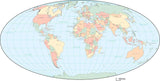
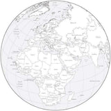
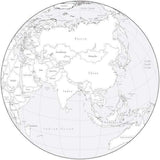
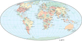
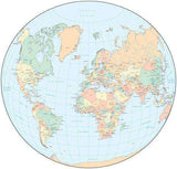
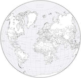
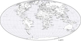
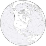
Oval and Round World Maps in Adobe Illustrator and PowerPoint Format
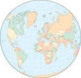
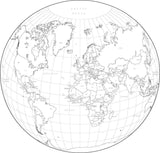
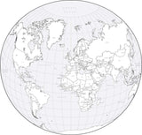
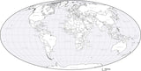
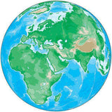
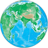
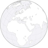
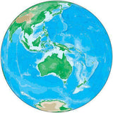
World maps in a variety of round and oval shapes and sizes, with continent outlines, country borders, cities, and other features.
All in Adobe Illustrator vector format with all the features in layers, and some in PPT format for use in PowerPoint and Keynote.


Results 1-56 of 56