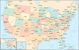
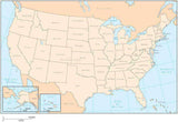
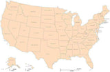
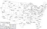
Basic USA Maps in PowerPoint & Illustrator Format
Each of the following USA maps is available for Download 24/7 in Adobe Illustrator and PowerPoint formats (also compatible with Keynote).
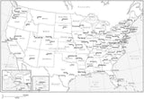
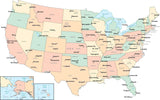
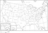
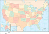
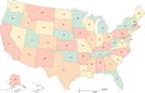
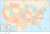
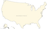
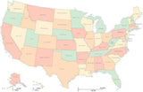
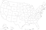
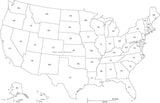
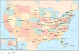
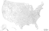
Choose a map showing the entire USA as a single object, or each of the 50 states as separate objects you can select and change the color or fill pattern as needed - perfect for showing sales territories, or other information by state.
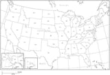
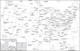
You can get the states and other areas pre-filled with standard map colors, or plain Black & White. Either way you can use the map as-is, or modify to your needs using the design tools in PowerPoint or Adobe Illustrator.
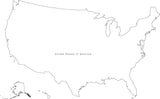
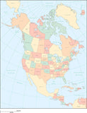
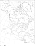
We have maps showing just the 50 states, or also showing adjacent portions of Canada and Mexico (also objects you can select). If you also need Canadian Provinces we have similar maps showing all of North America with US States and Canadian Provinces.


Results 1–21