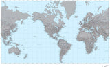
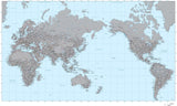
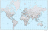
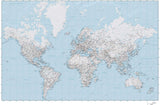
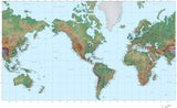
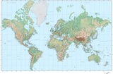
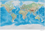
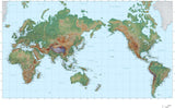
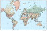
World Terrain Maps
Digital Maps of the World in Adobe Illustrator Format with Photoshop Terrain Background Image
Each map file consists of two files that work together:
- an Adobe Illustrator vector format file with all the line features (coastline, borders, rivers, major roads, etc) and text features (country names, city names, etc) in layers.
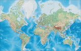
- an Adobe Photoshop file in the background that shows the shaded relief terrain. This is a CMYK color file, with the mountain shadows in the K channel, and the color elevation tint in the CMY channels.
You can use these files as-is, or use the tools in Adobe Illustrator and Photoshop to alter the appearance of these maps to meet your design needs. To see how this works, please download our sample terrain map.


Results 1–31