Move your mouse over image or click to enlarge
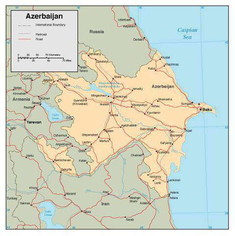
Azerbaijan Page Size Digital Map
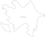
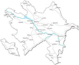
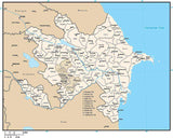
About This Azerbaijan Map
Shows the entire country, with portions of adjacent countries. Detail includes country borders, major roads, rivers, lakes, and city locations.All areas and lines are fully editable Adobe Illustrator objects, and all text is font text (not outlines). Easy to customize using the tools in Adobe Illustrator.
Great for page size illustrations showing an entire country for print or web use.
How Will I Download My Digital Map File?
Your receipt page will have a link to download your file, and you will receive an email with the same link. The link will be active for 30 days.
30 Day Money-Back Guarantee!
Download a Sample Map
See for yourself why our maps are the best! Download a fully editable sample map in Adobe Illustrator or PowerPoint Format.
Can't Find the Map You Need?
We can make one for you. Here's how to get a custom map...
Similar Maps