Move your mouse over image or click to enlarge
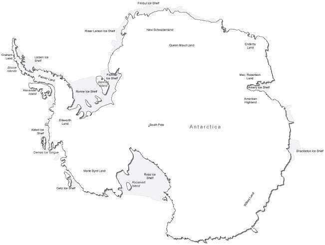
Antarctica Black & White Map With Major Cities
About This Antarctica Map
Shows the entire country in simple black and white outline, with major roads, capital, and major cities.
Use this map as-is, or customize it using the tools in Adobe Illustrator.
Perfect for simple presentations or reports.
This map is also included in our Country Maps with Cities and Major Highways collection, including maps of 209 countries throughout the world.
How Will I Download My Digital Map File?
Your receipt page will have a link to download your file, and you will receive an email with the same link. The link will be active for 30 days.
30 Day Money-Back Guarantee!
Download a Sample Map
See for yourself why our maps are the best! Download a fully editable sample map in Adobe Illustrator or PowerPoint Format.
Can't Find the Map You Need?
We can make one for you. Here's how to get a custom map...
Similar Maps