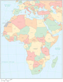
Digital Asia Map with Countries - Black & White
About This Asia with Countries Map
Shows the entire continent, with internal country borders and country names.In both Illustrator and PowerPoint format, all areas are fully editable, and all text is font text (not outlines). Easy to customize using the tools in Adobe Illustrator.
Perfect for page size illustrations in proposals or reports.
This map is also included in our Atlas International collection, including similar style maps of the World, and the seven continents Continents in Adobe Illustrator format.
This map is also included in our World Outline Maps - PowerPoint Collection, including similar style maps of the World, and the seven continents Continents in PowerPoint format.
How Will I Download My Digital Map File?
Your receipt page will have a link to download your file, and you will receive an email with the same link. The link will be active for 30 days.
30 Day Money-Back Guarantee!
Download a Sample Map
See for yourself why our maps are the best! Download a fully editable sample map in Adobe Illustrator or PowerPoint Format.
Can't Find the Map You Need?
We can make one for you. Here's how to get a custom map...
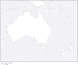
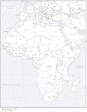
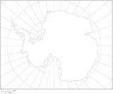
Similar Maps