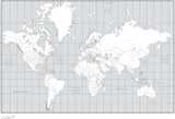
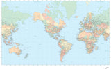
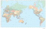
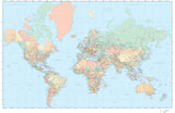
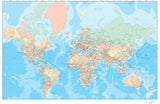
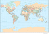
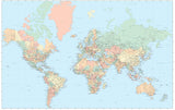
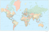
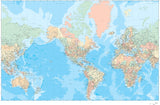
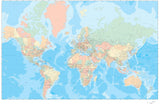
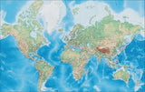
World Maps with US States and Canadian Provinces
Digital world vector maps, showing every country and all US states and Canadian provinces, each as a separate object.
Adobe Illustrator format for best-quality print and graphic design map use, and all layered and fully editable so you can customize the map to your own design needs. All fill colors and line styles are fully editable, and all text is editable font text (not outlines).


Results 1–32