Move your mouse over image or click to enlarge
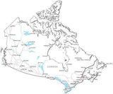
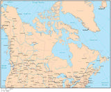
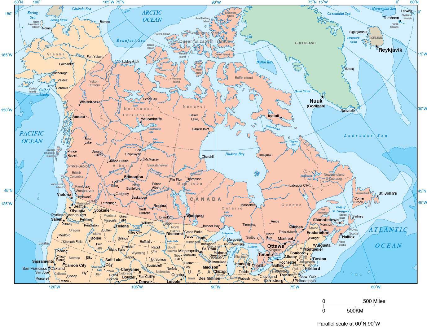
Canada Map with Provincial Boundaries and Contours in Water
About This Canada Map with Provincial Boundaries and Contours in Water
Includes contours in the water, with country borders, province boundaries, major rivers and lakes.In Illustrator format all contour lines and areas are fully editable vector objects in separate layers so you can easily change the colors as needed.
Perfect for page size color illustrations in proposals or reports.
How Will I Download My Digital Map File?
Your receipt page will have a link to download your file, and you will receive an email with the same link. The link will be active for 30 days.
30 Day Money-Back Guarantee!
Download a Sample Map
See for yourself why our maps are the best! Download a fully editable sample map in Adobe Illustrator or PowerPoint Format.
Can't Find the Map You Need?
We can make one for you. Here's how to get a custom map...
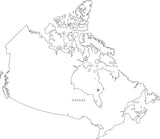
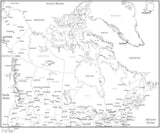
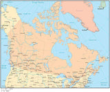
Similar Maps