Menu
Cart 0
Digital Canada Contour map in Adobe Illustrator vector format
Move your mouse over image or click to enlarge

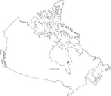
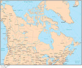
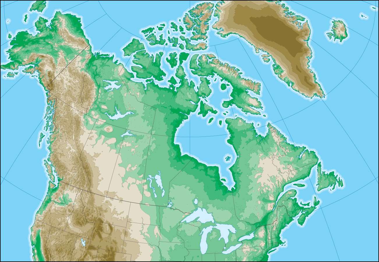
Canada Map with Land Contours

  • $ 99.95


More License Info

About This Map

Shows the entire country with portions of adjacent states. Detail includes contours rivers and lakes.

Use this map as-is or modify to meet your design specifications.

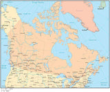
Great for page size illustrations with contours showing mountains valleys and other topographic elevation features.

Adobe Illustrator Layer List on This Map

  • 0-150 Ft. Fill
  • 1200 Ft. Contour Line
  • 1200-1800 Ft. Fill
  • 12000 Ft. Contour Line
  • 12000+ Ft. Fill
  • 150 Ft. Contour Line
  • 150-300 Ft. Fill
  • 1800 Ft. Contour Line
  • 1800-3000 Ft. Fill
  • 300 Ft. Contour Line
  • 300-600 Ft. Fill
  • 3000 Ft. Contour Line
  • 3000-4500 Ft. Fill
  • 4500 Ft. Contour Line
  • 4500-6000 Ft. Fill
  • 600 Ft. Contour Line
  • 600-1200 Ft. Fill
  • 6000 Ft. Contour Line
  • 6000-7500 Ft. Fill
  • 7500 Ft. Contour Line
  • 7500-9000 Ft. Fill
  • 9000 Ft. Contour Line
  • 9000-12000 Ft. Fill
  • Coastline
  • Coastline Case 1
  • Coastline Case 2
  • Frame
  • Grid
  • International Boundary Lines
  • Major Lakes
  • Province Boundary Lines
  • State Boundary Lines
  • Water Area

How Will I Download My Digital Map File?

Your receipt page will have a link to download your file, and you will receive an email with the same link. The link will be active for 30 days.


30 Day Money-Back Guarantee!


Download a Sample Map

See for yourself why our maps are the best! Download a fully editable sample map in Adobe Illustrator or PowerPoint Format.


Can't Find the Map You Need?

We can make one for you. Here's how to get a custom map...
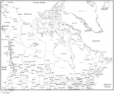
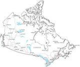


Similar Maps