Move your mouse over image or click to enlarge

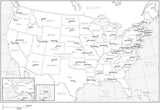
Black & White Poster Size USA Map with Counties - Rectangular Projection
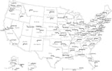
About This USA Map with Counties
Shows the entire USA with all 3000-plus counties, plus adjacent portions of Canada and Mexico, with frame and lat/long lines.In Illustrator format each county is a separate object you can select and change the color. All text is fully editable font text (not outlines).
Dimensions about 31 x 17 in (80 x 44 cm). Perfect for large size posters or presentations.
How Will I Download My Digital Map File?
Your receipt page will have a link to download your file, and you will receive an email with the same link. The link will be active for 30 days.
30 Day Money-Back Guarantee!
Download a Sample Map
See for yourself why our maps are the best! Download a fully editable sample map in Adobe Illustrator or PowerPoint Format.
Can't Find the Map You Need?
We can make one for you. Here's how to get a custom map...
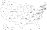
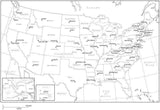
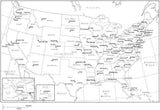
Similar Maps