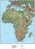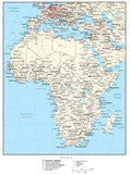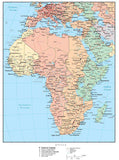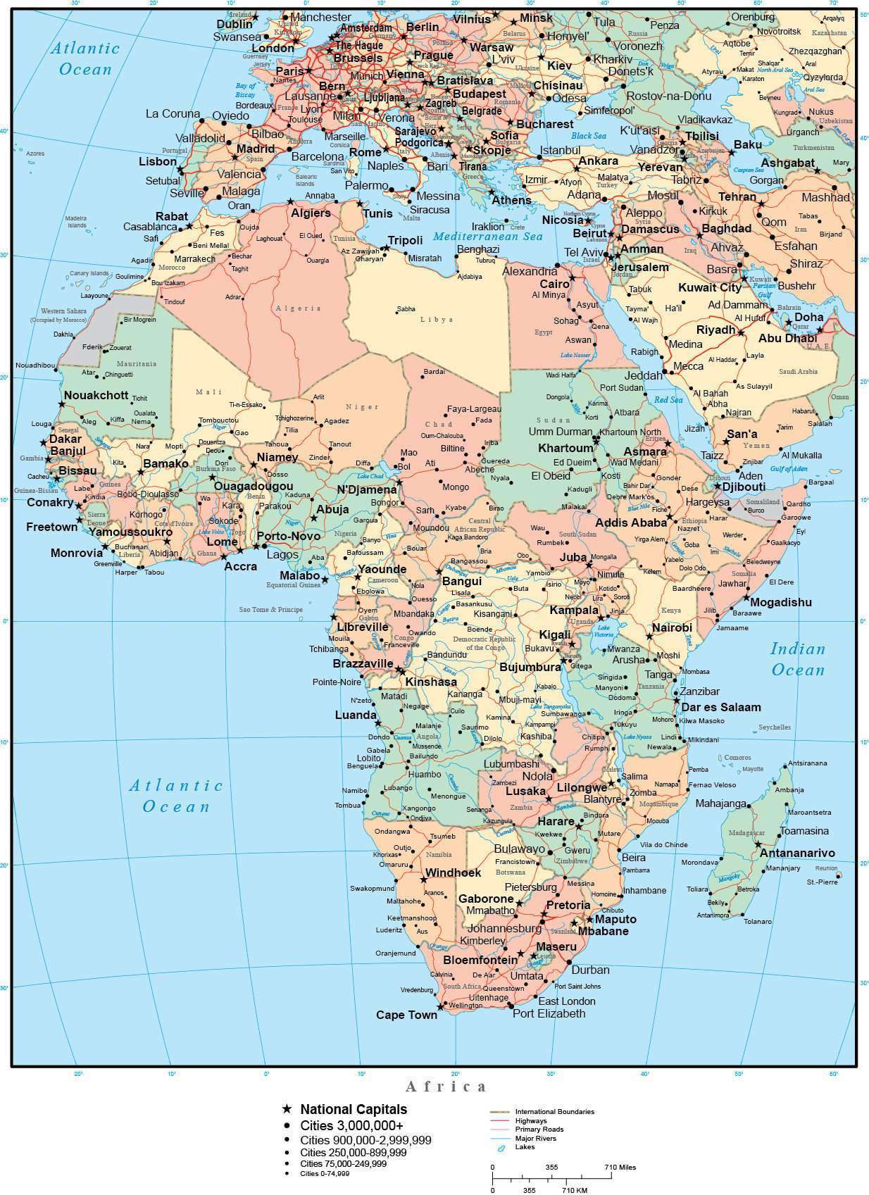
Africa Map with Countries, Capitals, Cities, Roads and Water Features
About This Africa Map
Shows country borders, country names, major rivers, lakes, roads, and cities.
Each country is a separately drawn Adobe Illustrator object you can select and change the color. All lines are fully editable, and all text is fully editable font text (not outlines).
Perfect for page size illustrations.
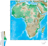
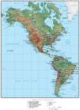
This map is also included in our Premier International collection, including maps of the World in several projections, each of the seven continents, and sub-continent areas.
If you need a map like this one showing a different area, please contact our Custom Mapping Services.
How Will I Download My Digital Map File?
Your receipt page will have a link to download your file, and you will receive an email with the same link. The link will be active for 30 days.
30 Day Money-Back Guarantee!
Download a Sample Map
See for yourself why our maps are the best! Download a fully editable sample map in Adobe Illustrator or PowerPoint Format.
Can't Find the Map You Need?
We can make one for you. Here's how to get a custom map...
Similar Maps