Move your mouse over image or click to enlarge
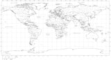
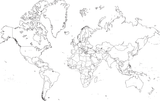
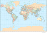
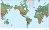
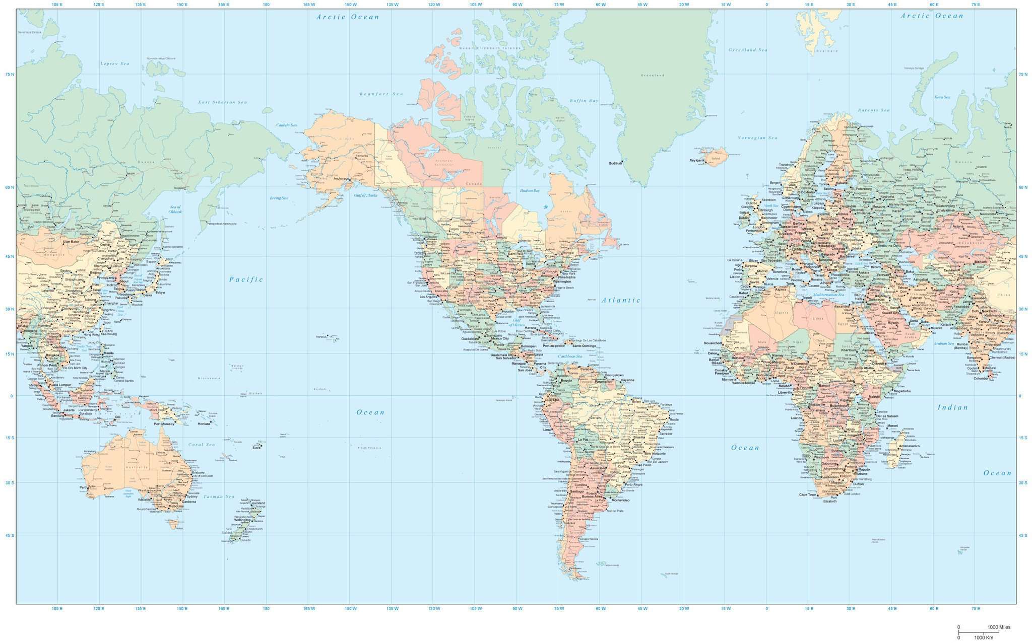
35 x 22 Inch Poster Size World Map - Americas Centered - High Detail
About This Map
Shows country borders country names US states Canadian provinces major rivers lakes roads and cities.In Illustrator format each area is a separate object you can select and change the color. All lines are fully editable and all text is fully editable font text (not outlines).
Dimensions about 34.75 x 20.75 in (90 x 53 cm). Perfect for large size posters or presentations or trade show graphics.
This world map is in the Mercator Projection.
How Will I Download My Digital Map File?
Your receipt page will have a link to download your file, and you will receive an email with the same link. The link will be active for 30 days.
30 Day Money-Back Guarantee!
Download a Sample Map
See for yourself why our maps are the best! Download a fully editable sample map in Adobe Illustrator or PowerPoint Format.
Can't Find the Map You Need?
We can make one for you. Here's how to get a custom map...
Similar Maps