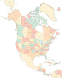
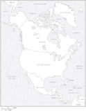
North America Map with Land and Ocean Floor Terrain
About This Map
Includes color terrain shaded relief image in the land areas for the USA, Canada, Central America, and the Caribbean, and underwater topography for the surrounding water areas.
Dimensions: 8 x 10 inches.
All area and line features are Illustrator objects, and all text is fully editable font text (not outlines).
The background terrain is a 300 dpi (2400 x3000) CMYK Photoshop file, so you can use the image as-is or use the tools in Photoshop to easily alter the appearance to your design specifications.
For when you need a really spectacular color illustration.
How Will I Download My Digital Map File?
Your receipt page will have a link to download your file, and you will receive an email with the same link. The link will be active for 30 days.
30 Day Money-Back Guarantee!
Download a Sample Map
See for yourself why our maps are the best! Download a fully editable sample map in Adobe Illustrator or PowerPoint Format.
Can't Find the Map You Need?
We can make one for you. Here's how to get a custom map...
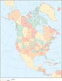
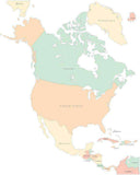
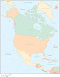
Similar Maps