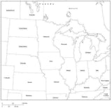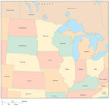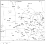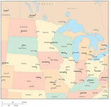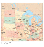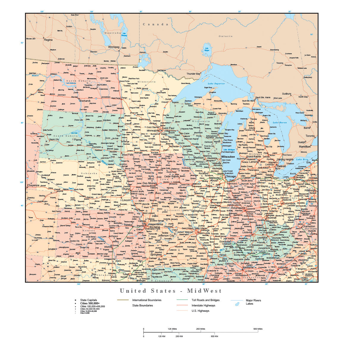
USA Midwest Region Map with States, Highways and Cities
USA Midwest Region Map
Map shows Midwestern USA (West North Central and East North Central regions) including the states of of North Dakota, South Dakota, Nebraska, Kansas, Missouri, Iowa, Minnesota, Wisconsin, Illinois, Indiana, Michigan, Kentucky, and Ohio.
Map detail includes state and province areas, highways, cities, rivers and lakes.
This digital map is drawn at a nominal size of about 12x13 inches.
This map is available in Adobe Illustrator format, with each area a separate object you can select and change the color. All lines are fully editable, and all text is fully editable font text (not outlines).
Also available in JPEG format, at 300 dpi CMYK color mode (about 3600 x 3900 pixels). Not layered, but compatible with many graphics, word processing, and presentation software.
Perfect for illustrations in print, presentations, or web design.
We also have World, USA, State, and City Maps!
 |
 |
 |
 |
 |
How Will I Download My Digital Map File?
Your receipt page will have a link to download your file, and you will receive an email with the same link. The link will be active for 30 days.
30 Day Money-Back Guarantee!
Download a Sample Map
See for yourself why our maps are the best! Download a fully editable sample map in Adobe Illustrator or PowerPoint Format.
Can't Find the Map You Need?
We can make one for you. Here's how to get a custom map...
Similar Maps