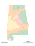
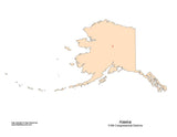
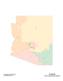
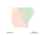
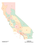
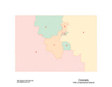
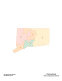
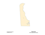
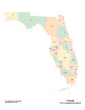
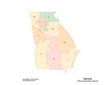
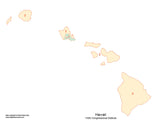
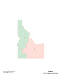
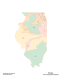
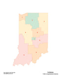
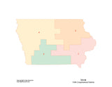
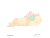
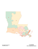
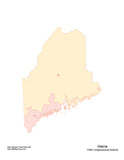
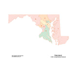
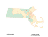
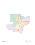
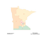
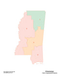
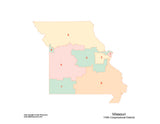
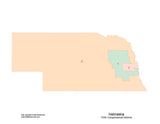
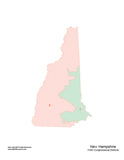
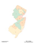
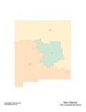
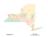
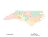
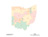
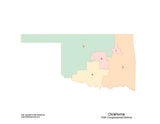
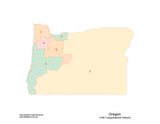
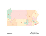
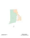
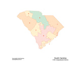
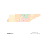
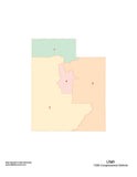
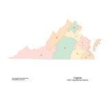
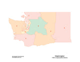
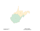
US State Maps with Congressional Districts
|
Maps of each of the 50 US states with congressional district areas, used to elect the 118th Congress of the United States in 2022. Download 24/7. Use any of the tools in Adobe® Illustrator to edit the maps - such as: change the color of the districts; re-size the map; print the map; add your own info; etc. Each district is a separate, editable object/polygon.
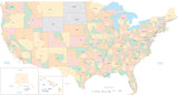
Need a Single Map of the Entire USA with Congressional Districts?
We have maps of the USA with all 50 states on a single map with congressional districts.
Need a Set of All 50 States with Congressional Districts?
See our collection of all 50 US State Maps with Congressional Districts for $299 |


Results 1-50 of 50