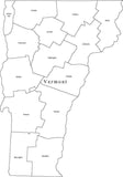
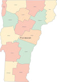
Vermont Map with Minor Civil Divisions
About This Vermont Map with Minor Civil Divisions
Shows individual Minor Civil Division (MCDs) areas and names, with major highways, lakes and rivers.
Minor civil division (MCD) is a term used by the United States Census Bureau to designate administrative divisions such as incorporated municipalities, boroughs, cities, townships, and towns.
In Illustrator each MCD is a separate object you can select and change the color. All text is fully editable font text (not outlines). Use as-is, or color the MCDs to show sales territories etc.
If you need a similar map of a different area please email Map ResourcesåÊwith a description and we will get back to you with a quote for cost and scheduled delivery time.
How Will I Download My Digital Map File?
Your receipt page will have a link to download your file, and you will receive an email with the same link. The link will be active for 30 days.
30 Day Money-Back Guarantee!
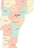
Download a Sample Map
See for yourself why our maps are the best! Download a fully editable sample map in Adobe Illustrator or PowerPoint Format.
Can't Find the Map You Need?
We can make one for you. Here's how to get a custom map...
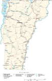
Similar Maps