Move your mouse over image or click to enlarge
Alabama State Map - Cut Out Style - Fit Together Series
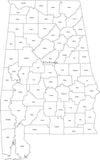
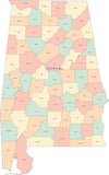
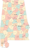
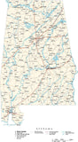
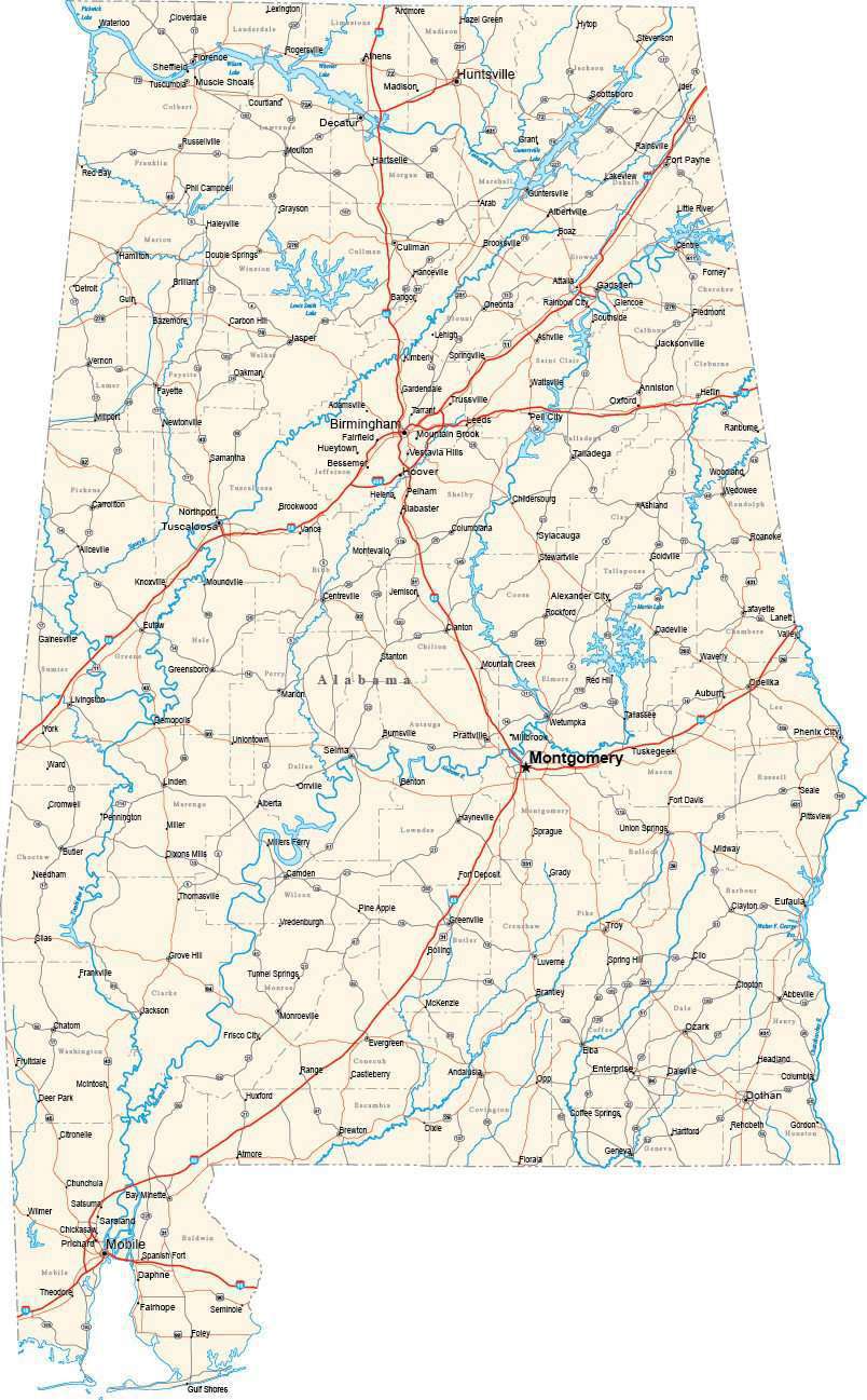
About This Alabama Map
Shows the entire state of Alabama, cut at the state border. Detail includes all county borders, major roads, rivers, lakes, and major city locations.All areas and lines are fully editable Adobe Illustrator objects, and all text is font text (not outlines). Easy to customize using the tools in Adobe Illustrator.
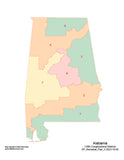
All 48 Fit Together states are drawn at the same scale and projection so you can copy and paste together adjacent states to form multi-state regions.
This map is also included in our Fit-Together US States collection, which includes maps of the all of the Lower 48 contiguous states.
If you need a map like this one showing a different area, please contact our Custom Mapping Services.How Will I Download My Digital Map File?
Your receipt page will have a link to download your file, and you will receive an email with the same link. The link will be active for 30 days.
30 Day Money-Back Guarantee!
Download a Sample Map
See for yourself why our maps are the best! Download a fully editable sample map in Adobe Illustrator or PowerPoint Format.
Can't Find the Map You Need?
We can make one for you. Here's how to get a custom map...
Similar Maps