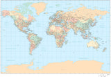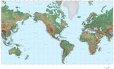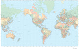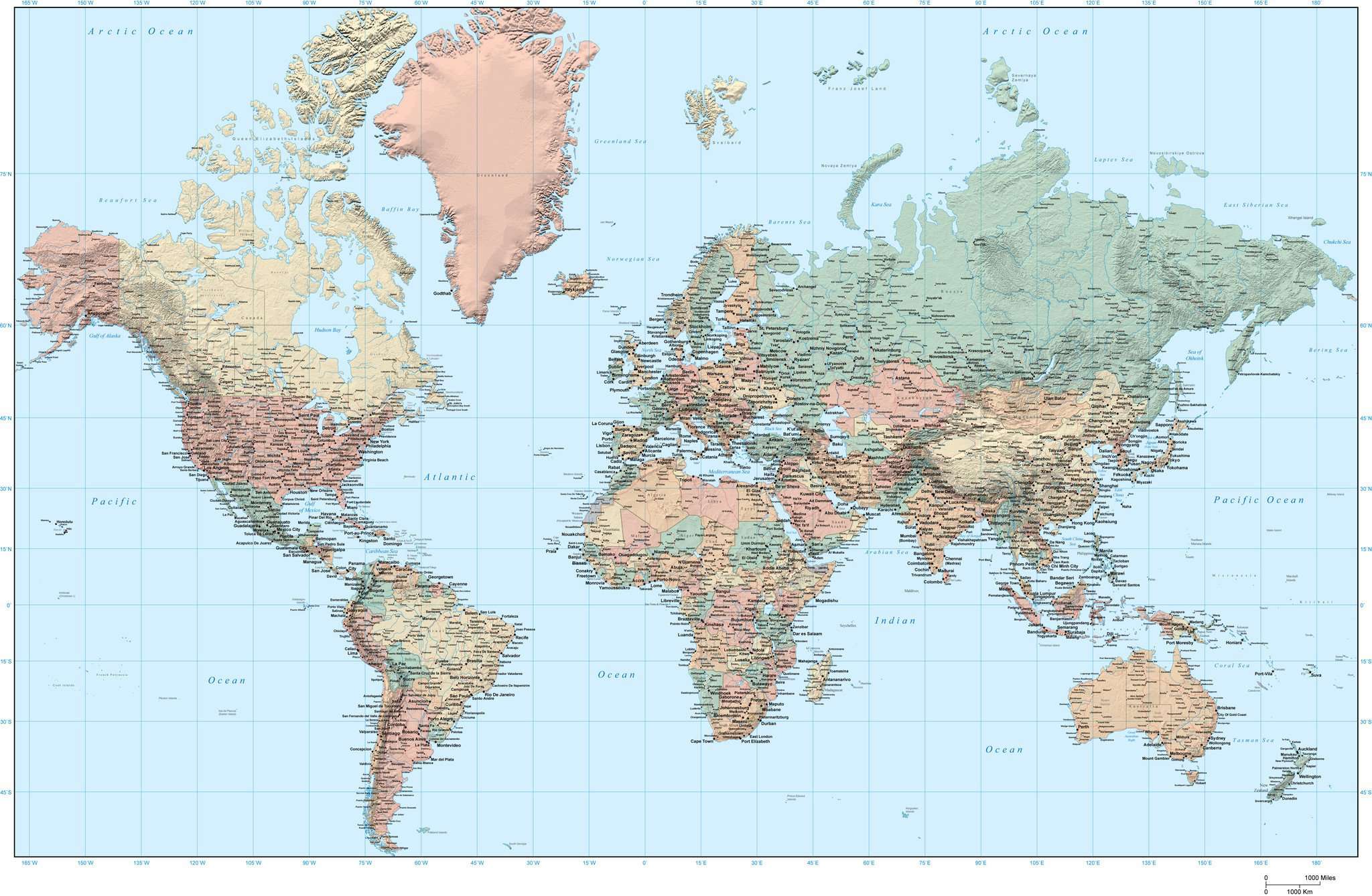
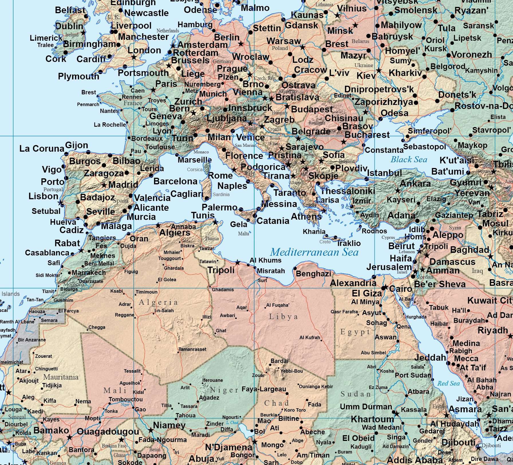
35 x 22 Inch World Map - plus Country Objects and Grayscale Terrain - Europe Centered
About This World Digital Map
This digital World map shows countries in colors, with background grayscale shaded relief image. This digital map was created at about 35x22 inches.
The background is a terrain background image in the land, with country borders, major cities, rivers, and roads as vector overlays in Adobe Illustrator. All text is fully editable font text strings (not outlines).
All lines, color fill areas, and text are fully editable vector art. The background terrain is a 300 dpi CMYK Photoshop file (about 10,500 x 6,600 pixels), so you can alter the background easily to your design specifications using the tools in Photoshop.
Perfect for large size color illustrations in print or web design.
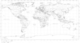
This map is in the Mercator projection.
How Will I Download My Digital Map File?
Your receipt page will have a link to download your file, and you will receive an email with the same link. The link will be active for 30 days.
30 Day Money-Back Guarantee!
Download a Sample Map
See for yourself why our maps are the best! Download a fully editable sample map in Adobe Illustrator or PowerPoint Format.
Can't Find the Map You Need?
We can make one for you. Here's how to get a custom map...
Similar Maps