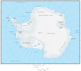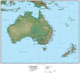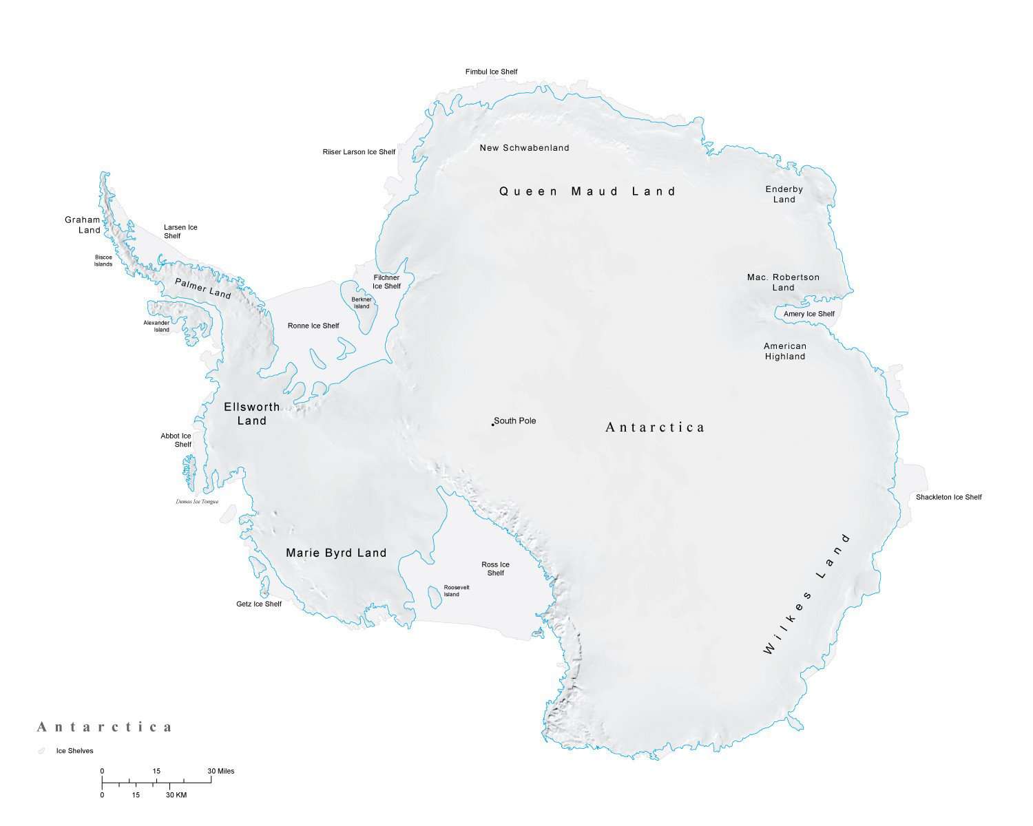
Antarctica Map Plus Terrain
About This Antarctica Map
This Antarctica Map includes a terrain relief image in the land with country borders major cities rivers and roads.
In Illustrator format the background terrain is a 300 dpi CMYK Photoshop file so you can alter the background colors easily to your design specifications.
Perfect for large color illustrations in print or web design.
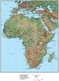
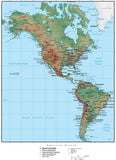
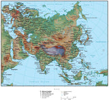
This map is also included in our Premier International plus Terrain collection, which also includes similar style maps of the World in several projections, each of the seven continents, and sub-continent areas.
How Will I Download My Digital Map File?
Your receipt page will have a link to download your file, and you will receive an email with the same link. The link will be active for 30 days.
30 Day Money-Back Guarantee!
Download a Sample Map
See for yourself why our maps are the best! Download a fully editable sample map in Adobe Illustrator or PowerPoint Format.
Can't Find the Map You Need?
We can make one for you. Here's how to get a custom map...
Similar Maps