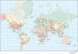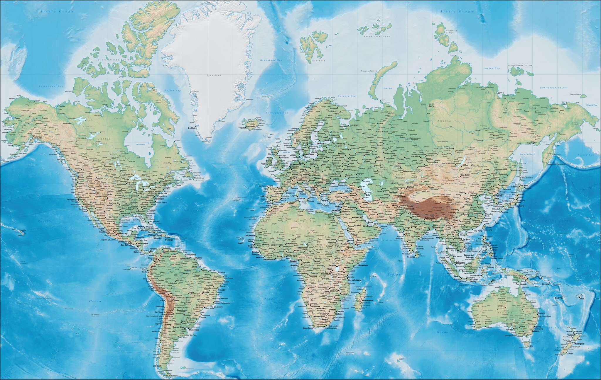
55 x 35 Inch World Digital Map with US States and Canadian Provinces - plus Land & Ocean Floor Terrain - Mercator Projection
About This Large Detailed World Terrain Digital Map
Our largest and most detailed world map, showing gorgeous color terrain, with countries, states, and city detail. Perfect when large size and detail is needed.
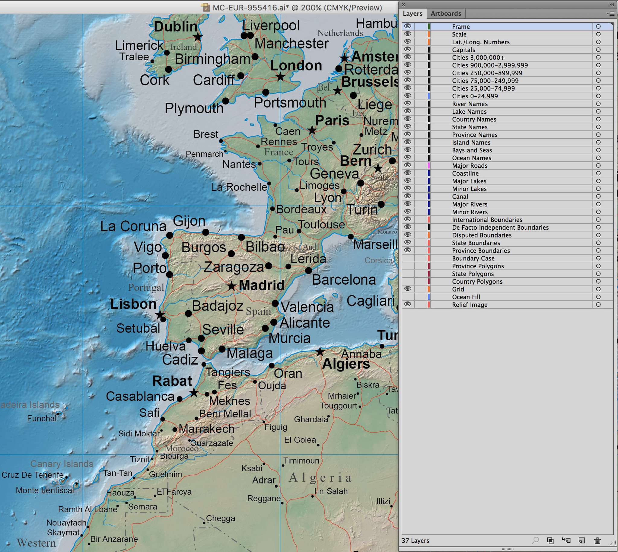
Shows the world with detailed terrain in land and water plus country borders country names US states Canadian provinces major rivers lakes roads and cities. See preview images showing the entire world area, and a detail covering part of Europe.
The Illustrator map is about 55 x 35 inches, and the background terrain Photoshop background image (CMYK 300 dpi 16,500 x 10,500 pixels) shows the color terrain. 36 Illustrator layers for each type of feature (Rivers, Lakes, River Names, Capital Cities, etc) and each feature is a separate object you can select and modify to meet your exact design specifications. All lines are fully editable, and all text is fully editable font text (not outlines).
Download a sample of this map - showing full detail for a portion of the southern half of Africa.
Perfect for large size posters or presentations, or enlarged for trade show booth or wall sized maps.
The Mercator projection does not include Antarctica - if you need a large world map that also includes Antarctica, see this Miller Projection world map with terrain.
NOTE: This is a large download - about 225 megabyte ZIP compressed archive.
How Will I Download My Digital Map File?
Your receipt page will have a link to download your file, and you will receive an email with the same link. The link will be active for 30 days.
30 Day Money-Back Guarantee!
Download a Sample Map
See for yourself why our maps are the best! Download a fully editable sample map in Adobe Illustrator or PowerPoint Format.
Can't Find the Map You Need?
We can make one for you. Here's how to get a custom map...
Similar Maps